Why this Santo Antao Cape Verde hiking travel guide matters
Cape Verde sits alone in the Atlantic, but Santo Antão feels further still. The island is only a short ferry ride from São Vicente, yet the absence of an airport has kept Santo Antão authentic, quiet, and shaped around walking rather than wheels. For travelers seeking an off the beaten path hike rather than a resort stay, this Santo Antao Cape Verde hiking travel guide explains how to move through the landscape with respect and confidence.
The journey starts in Mindelo on São Vicente, where you board the ferry to Porto Novo, the only gateway to Santo Antão island. The ferry terminal in Mindelo can feel busy, yet once you step onto the deck and watch the volcanic silhouettes rise, the trip becomes part of the adventure rather than a transfer. Because Santo Antão is accessible only by ferry, the flow of visitors remains limited, and the island still belongs primarily to Cape Verdean communities who farm the valleys and run small guesthouses.
From Porto Novo, the road climbs quickly into high volcanic ridges that define this Santo Antao Cape Verde hiking travel guide. A rent car can be useful for reaching remote trailheads, but many of the best hiking trails still begin in villages where a local guide waits with a paper map and a story. This is not an island for rushing; it is a place where each valley hike, each meeting with a local farmer, and each glass of grogue connects you to a slower Cape Verde rhythm.
From São Vicente to Porto Novo: ferries, first views, and where to stay
Every hike on Santo Antão begins with the sea crossing from São Vicente, and that ferry shapes the entire experience. You leave Mindelo’s music filled streets behind, watch the harbour shrink, and feel the Atlantic swell as the ferry heads toward the dark outline of Santo Antão island. Because there is no airport, the ferry terminal acts as both border and filter, keeping mass tourism away and preserving a sense of arrival that suits an off the beaten path hiking trip.
Porto Novo itself is functional rather than picturesque, yet it anchors this Santo Antao Cape Verde hiking travel guide. Here you will find shared taxis, rent car agencies, and drivers who know every valley and every bend in the mountain road. Many travelers choose only a short stay in Porto Novo before heading north, but spending one night lets you adjust to the Cape Verdean pace, taste fresh fish, and plan your first hike with a local guide who understands the weather and the trails.
From Porto Novo, the old mountain road climbs toward the Cova crater, Ribeira Grande, and the Paul valley, three names that will recur throughout any serious guide to hiking Santo Antão. This road alone feels like a preview of the hiking trails, with views over terraced valleys and the Atlantic far below. For deeper planning on remote routes and adventure trails beyond the ordinary, the dedicated hiking expeditions guide on Hidden Path Journeys offers complementary detail that pairs well with this Santo Antao Cape Verde hiking travel guide.
Cova crater to Paul valley: the signature green descent
The classic hike on Santo Antão begins at the rim of the Cova crater, a volcanic bowl that now holds patchwork fields of beans and maize. Standing at the edge, you look down into the Paul valley, one of the greenest valleys in Cape Verde, where sugarcane, bananas, and coffee cling to impossibly steep terraces. This valley hike is the route that convinces many travelers that a Santo Antao Cape Verde hiking travel guide deserves a place beside guides to Madeira or the Azores.
The descent from Cova crater into the Paul valley follows old stone paths that zigzag down the inner walls of the volcano. You pass small casas where local families farm by hand, and you share the trail with Cape Verdean villagers carrying baskets or leading goats. A local guide is not strictly necessary on a clear day, yet hiring one supports the community and adds context about grogue production, microclimates, and the history of Santo Antão island as a producer of sugarcane and coffee.
Lower in the Paul valley, the air becomes warmer and more humid, and the scent of fermenting cane hints at nearby distilleries. Guesthouses such as Casa Maracujá and other simple casas offer a quiet stay surrounded by terraces, ideal for hikers who want to wake up already inside the landscape. For more ideas on unexplored hiking trails and hidden gems that match the spirit of this valley, the Hidden Path Journeys feature on unexplored hiking trails provides a useful companion to this Santo Antao Cape Verde hiking travel guide.
Ponta do Sol, Cha de Igreja, and the coastal path where maps fade
On the north coast, the fishing town of Ponta do Sol feels like the end of the road, yet for hikers it is the beginning of some of the most dramatic trails on Santo Antão. Colourful houses face the Atlantic, and early in the morning you can watch fishermen launch wooden boats into the swell. Many travelers base their stay here to access the coastal hiking trails that link Ponta do Sol, Fontainhas, and Cha de Igreja in a single unforgettable day.
The hike from Ponta do Sol to Cruzinha via Cha de Igreja clings to cliffs above the ocean, with stone paths carved into the rock and valleys dropping steeply to black pebble coves. This is where a local guide earns their fee, reading the weather, setting the pace, and pointing out safe places to rest. Sections of the trail feel exposed, yet the route is well trodden by Cape Verdean villagers moving between hamlets, and the sense of walking a living path rather than a curated route is part of the appeal.
Villages such as Fontainhas and Cha de Igreja offer simple cafés, small casas, and the kind of informal hospitality that defines this Santo Antao Cape Verde hiking travel guide. Nights here are quiet, with only the Atlantic and the occasional truck on the road to Ribeira Grande or Ponta do Sol. For travelers who enjoy combining remote hikes with rare wildlife encounters elsewhere, the Hidden Path Journeys article on unique wildlife destinations offers ideas that complement the raw coastal drama of Santo Antão.
Grogue distilleries, Ribeira Grande life, and practical hiking logistics
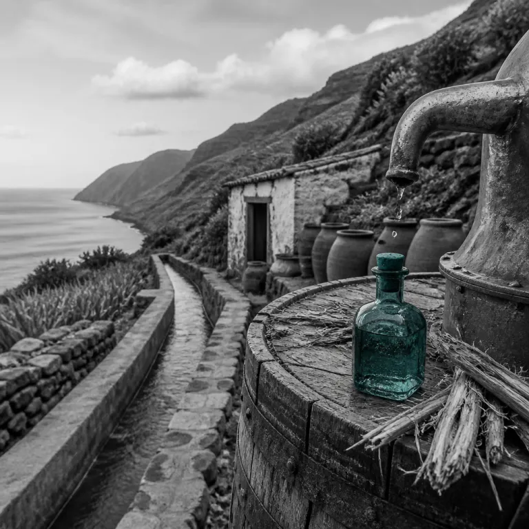
Beyond the ridges and valleys, Santo Antão is also the heart of Cape Verdean grogue, the national sugarcane spirit. Small family distilleries dot the Paul valley, Ribeira Grande, and other green valleys, and many welcome hikers who arrive on foot after a long hike Santo through the terraces. As one local explanation puts it without embellishment, "What is grogue? Cape Verde's national drink, a rum distilled from sugarcane."
Ribeira Grande town serves as the social and administrative centre of the north, and it deserves more than a quick pass in a rent car between hikes. Here you can eat cachupa in local restaurants, arrange a valley hike with a certified local guide, and watch daily life unfold in cafés around the square. Community run guesthouses and casas in Ribeira Grande and nearby villages such as Ponta do Sol or Paul offer characterful places to stay that align with sustainable tourism goals and keep revenue in Santo Antão communities.
For logistics, plan your trip for the dry season, when hiking Santo Antão is more comfortable and trails are less slippery, yet always carry water and wear sturdy shoes as local safety advice recommends. Maps, basic hiking gear, and the knowledge of Santo Antão residents combine with guided tours and tasting sessions at grogue distilleries to create a rounded experience. Whether you focus on the Cova crater descent, the coastal hike from Ponta do Sol, or quieter routes above Porto Novo on the south of the island, this Santo Antao Cape Verde hiking travel guide encourages you to move slowly, respect local customs, and let the volcanic landscape set the rhythm.
FAQ
Is Santo Antão suitable for hiking beginners?
Santo Antão offers a wide range of hiking trails, from gentle valley walks to demanding ridge traverses. Beginners can start with shorter routes in the Paul valley or near Ribeira Grande, where paths are well used and villages are close together. More exposed routes, such as the coastal path from Ponta do Sol to Cruzinha, suit hikers with good fitness and a head for heights.
How do I reach Santo Antão from other Cape Verde islands?
You first fly to São Vicente, usually landing in Mindelo, then take the ferry from Mindelo harbour to Porto Novo on Santo Antão. The crossing typically takes around one hour, and schedules can vary with sea conditions. There is no airport on Santo Antão, so the ferry terminal is the only point of entry for visitors.
What is grogue, and can I visit distilleries while hiking?
Grogue is Cape Verde’s traditional sugarcane spirit, produced in small family distilleries across Santo Antão. Many distilleries in the Paul valley and around Ribeira Grande welcome visitors who arrive on foot during a valley hike. Tasting sessions are usually informal, and some producers still use traditional methods that highlight the island’s cultural heritage.
When is the best time to plan a hiking trip to Santo Antão?
The most comfortable period for hiking runs through the drier months, when temperatures are moderate and trails are less muddy. During this time, visibility on the ridges is usually better, which enhances views over the valleys and the Atlantic. Always check local weather in Porto Novo or Ribeira Grande before committing to longer routes.
Do I need a local guide for the main hiking routes?
Some well marked routes, such as the descent from Cova crater into the Paul valley, can be walked independently by experienced hikers. However, hiring a local guide adds safety, supports the local economy, and provides cultural insight into farming, grogue production, and village life. For exposed coastal trails or less frequented paths, a guide is strongly recommended.